DARe-me Surveying Support Services
At DARe-me we offer an unrivalled surveying support service
In today's rapidly evolving landscape, the precision and efficiency of surveying services are more critical than ever. At the forefront of this transformation are advanced technologies such as drone services and 3D laser scanning, which have revolutionised the way we capture and analyse data. Our surveying support services integrate these cutting-edge tools to provide comprehensive solutions for a wide range of applications, from construction and infrastructure to environmental monitoring and land development.
At DARe-me we have an expert survey and inspection division which specialises in drone surveying and 3D laser scanning. We provide professional and reliable drone inspection services for various buildings, surveying, conditioning reports and construction work.
Drone Services
Our drone surveying services utilise high-resolution aerial imagery and photogrammetry to deliver precise and accurate data. Drones offer unparalleled access to hard-to-reach areas and can cover large areas quickly, making them ideal for topographic surveys, site inspections, and progress monitoring.
The key benefits of DARe-me Drone Surveying Services include:
Speed and Efficiency: Rapid data collection over extensive areas, reducing project timelines.
High Accuracy: Advanced sensors and GPS technology ensure precise measurements.
Safety: Minimizes the need for manual surveying in hazardous or inaccessible locations.
Cost-Effective: Reduces labour costs and improves data collection efficiency.
3D Laser Scanning
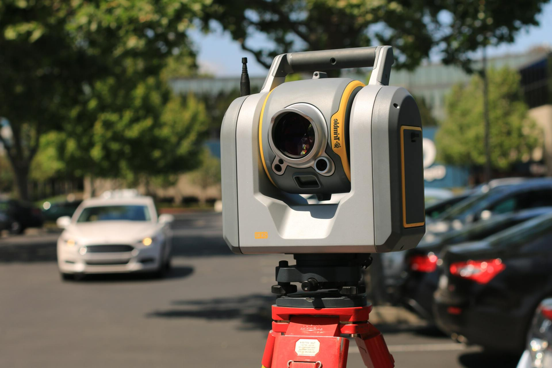
3D laser scanning, or LiDAR (Light Detection and Ranging), provides a highly detailed and accurate 3D representation of physical environments. This technology is essential for creating as-built documentation, heritage preservation, and complex construction projects. Our laser surveying service is a quick and precise way to capture the internal details of a building in 3D. The data points gathered are combined to generate a dense point cloud image of the surveyed area. This can be exported for a wide range of applications including CAD 3D Modelling and BIM.
Key advantages of DARe-me 3D laser scanning include:
Detail and Precision: Captures millions of data points to create highly accurate 3D models.
Versatility: Suitable for a variety of environments, from industrial facilities to natural landscapes.
Efficiency: Quick data acquisition and processing, enabling faster project turnaround times.
Comprehensive Data: Provides a complete view of the surveyed area, facilitating better planning and decision-making.
Why Choose Our Services?
By combining drone services and 3D laser scanning, we offer a robust and versatile approach to support our surveying partners. Our team of experienced professionals is dedicated to delivering high-quality data and insights that drive successful project outcomes.
Whether you need detailed topographic maps, precise volumetric calculations, or comprehensive site assessments, our surveying support services are designed to meet your needs with accuracy and efficiency.


