3D Laser Surveying

3D Laser Scanning


At DARe-me we offer 3D laser scanning. Laser scanning produces extremely accurate 3D internal surveys which can be exported to Revit models for building information modelling (BIM) purposes.

Enquire Now

What is laser scanning?


Laser surveys use high-tech laser scanner instruments to collect data points from a building or surface. The data gathered is a combination of millions of data points which are used to generate a 3D representation of the surveyed area.

The interactive nature of these 3D point cloud images lets viewers explore the inside of a building, noting precise dimensional measurements when required. Throughout the construction process, these can be compared against the original design plans to monitor a project’s progress.


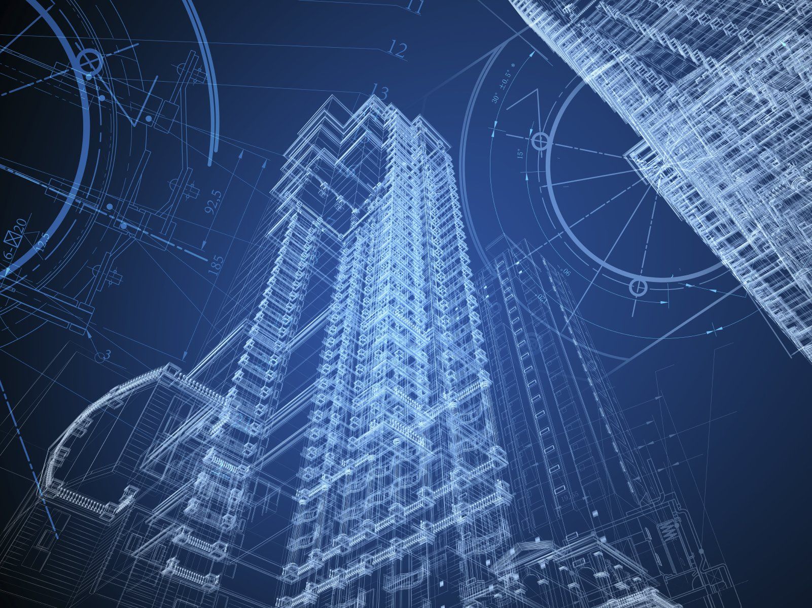
These 3D images can also be exported for use in 3D computer aided design (CAD) modelling or to create Revit models for BIM purposes. Users can accurately envisage what the completed project will look like and how it will operate.

Improve Accuracy

Laser scanning achieves greater precision than traditional surveying methods

Save Time

Large volumes of data are gathered quickly

Improve Safety

Remove the need for individuals to expose themselves to danger

Reduce Costs

Digital records can be checked as required, reducing costs involved in multiple site visits

Industries

The 3D images produced can be exported for use in computer aided design (CAD) modelling or to create Revit models for BIM purposes.


Users can accurately envisage what the completed project will look like and how it will operate. Any issues can be identified and remedied, allowing for a smooth design to construction process. 


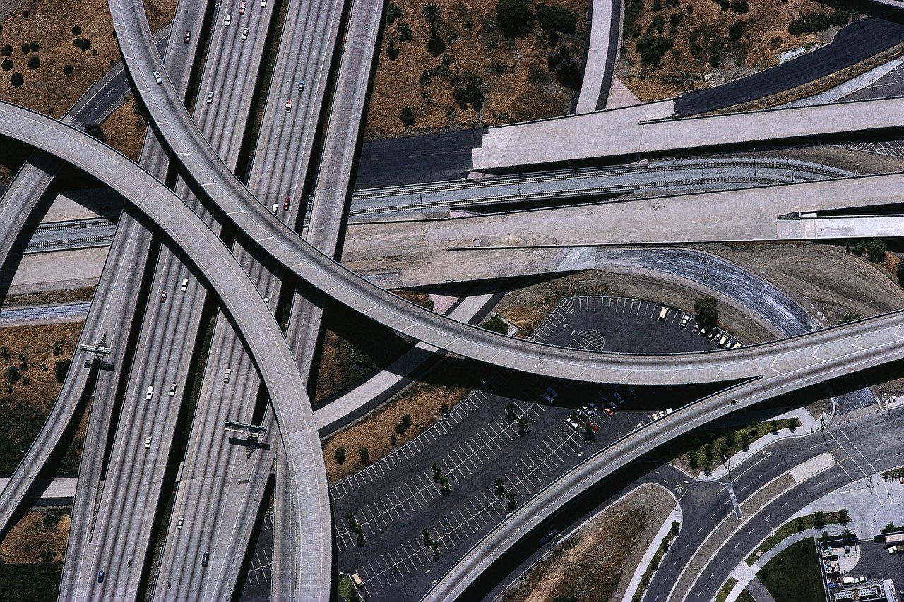
From bridges to roads, infrastructures must be built, monitored, and renovated to the highest standards.


3D laser scanning uses highly precise data capturing technology. Capabilities extend from helping develop as-built representations to measuring existing infrastructures prior to beginning the renovation process.

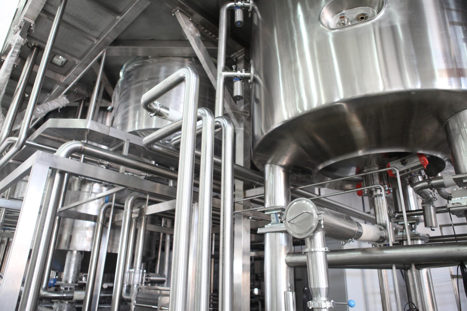
3D laser scanning instruments are great for surveying largely inaccessible areas that would be dangerous to conduct manually.


For example, power stations require regular maintenance inspections. 3D laser scanning often removes the need for any interruptions to operation and helps identify any issues to comply with safety regulations.

3D laser surveys offer highly precise measurements of any heritage asset. 


Point clouds can be converted into 3D mesh models which can be stored. These can be drawn on in the future if any damage occurs and sites need restored. 

3D laser scans help create 3D models that offer insights into city buildings and blocks.


The information gathered helps streamline decision making, allowing for informed assessments to be made regarding the urban environment. 

Share by: