Drone Surveying

DARe-me Drone Services

At DARe-me, we provide professional and reliable drone inspection services tailored to our clients various needs, including building inspections, surveying, condition reports, and construction projects.


Our state-of-the-art drone technology ensures that your inspections are conducted faster, safer, and more efficiently, allowing operations to continue seamlessly during the process.


Our services offer unparalleled benefits, including:


Speed: Rapid data collection and analysis, reducing downtime and accelerating project timelines.

Safety: Minimizes risk by eliminating the need for manual inspections in hazardous or hard-to-reach areas.

Efficiency: Comprehensive and precise inspections that provide detailed insights and actionable data.


Discover how our advanced drone inspection services can enhance your projects with precision and reliability.


For more information email: enquiries@dare-me.co.uk


DARe-me Specialist Drone Services

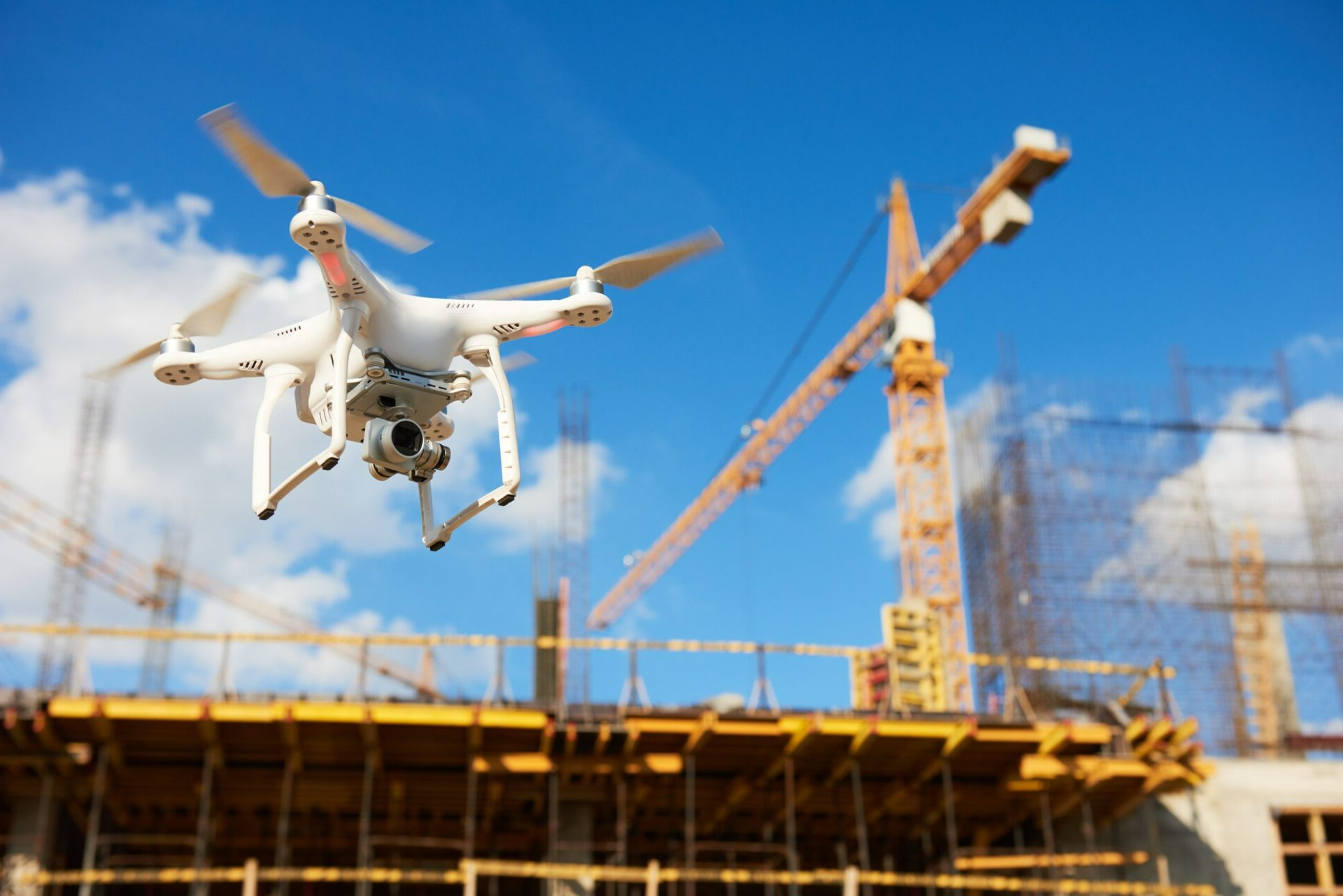
We offer aerial overviews of construction sites. These can show every stage of a development from planning and foundations through to building topping and completion. There is no better way to monitor a project’s progress than by using aerial photography.


Most commonly, drones perform visual inspections. A drone’s camera acts as the inspector’s eyes and rigorously checks every part of an asset.


We use drones to conduct inspections to monitor a site’s progress, measure stockpiles, compare tangible builds with design plans, inspect utility towers and wind turbines. 


Managing stockpile volumes and measuring quarries and landfills has never been more precise and efficient, thanks to our advanced drone technology. Our drone services provide high-resolution aerial data that can be used to create detailed 2D maps and 3D models of your stockpiles. This accurate and comprehensive data is invaluable for a variety of applications, including inventory management, operational planning, and compliance reporting.


Benefits of Our Drone-Based Stockpile Measurements:

Precision and Accuracy: Our drones capture high-resolution images and data points, ensuring precise volume calculations and measurements of stockpiles.

Efficiency: Drones can quickly survey large areas, significantly reducing the time required for traditional ground-based methods.

Safety: Drone surveys eliminate the need for personnel to physically access stockpiles, minimizing risk and ensuring a safer working environment.

Comprehensive Data: The collected data is processed to generate accurate 2D maps and 3D models, providing a thorough visual and quantitative analysis of the site.

Versatility: Suitable for a range of environments, from quarries and landfills to construction sites and mining operations.

Some of our drones have thermal imaging capabilities to measure surface temperatures. These can identify electrical issues or detect leaks without putting personnel at risk.


We conduct utility and building inspections using drones. We mostly provide thermal imaging for construction projects, heat loss and roof inspections including assessing building leakage.


Our network includes CAT1 certified pilots.

Drone surveying can assess the condition of towers, chimneys, bridges, roofs and other infrastructures and utilities. We use specialist equipment to zoom into specific features, allowing for highly detailed findings and reports. Any issues can easily be detected. 

Our team of drone pilots capture aerial images for a range of commercial mapping uses. Drones can be used to measure and map difficult to access areas such as landfill sites, quarries and open cast mines.


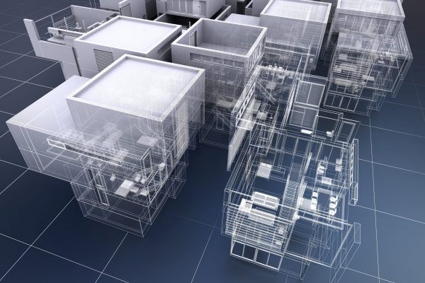
Specialising in 2D mapping, our team are industry experienced in land surveying and construction. We also take aerial images from a variety of unique perspectives to add depth and detail to the final 3D rendered model.


Drones gather highly accurate data quickly. Drone mapping can be up to 90% quicker than traditional manual methods. 


We produce highly accurate photogrammetry for engineers and architects.


Photogrammetry involves collecting high-resolution 2D aerial images. By overlapping enough images of the same aspect, photorealistic 3D models of topographic surfaces are generated.


Drone photogrammetry allows for data to be acquired quickly to help aid decision making. 

Save money by eliminating the time and costs involved. For example, erecting scaffolding.

Better decision-making. We operate within challenging environments, delivering detailed reports and findings.

Increase efficiency by identifying and remedying issues quickly.

Health and safety hazards by removing the need for people to be placed at height, avoiding potential danger to personnel.

CAA Registered | PfCO Qualified | Fully Trained & Insured

UK Wide Coverage

Share by: