Drone Surveying and Inspections
DARe-me Consulting Engineers offer a range of professional and reliable drone services for various buildings, surveying, conditioning reports and construction work.
Streamline operations by using drone technology to reduce costs and improve on-site safety.
Drone Services We Offer
DARe-me offer drone services covering a range of applications including:
Inspections (Asset & Structural)
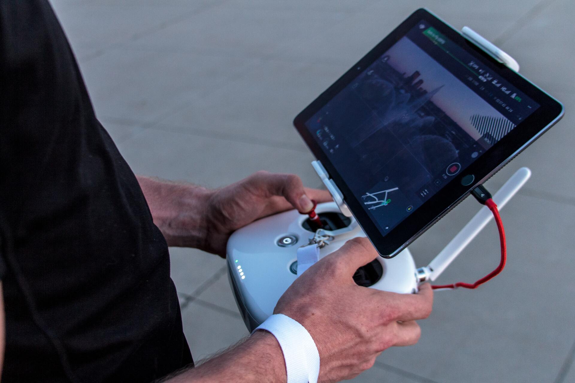
Most commonly, drones perform visual inspections. A drone’s camera acts as the inspector’s eyes and rigorously checks every part of an asset.
We use drones to conduct inspections to monitor a site’s progress, measure stockpiles, compare tangible builds with design plans, inspect utility towers and wind turbines.
Stockpile Measurement
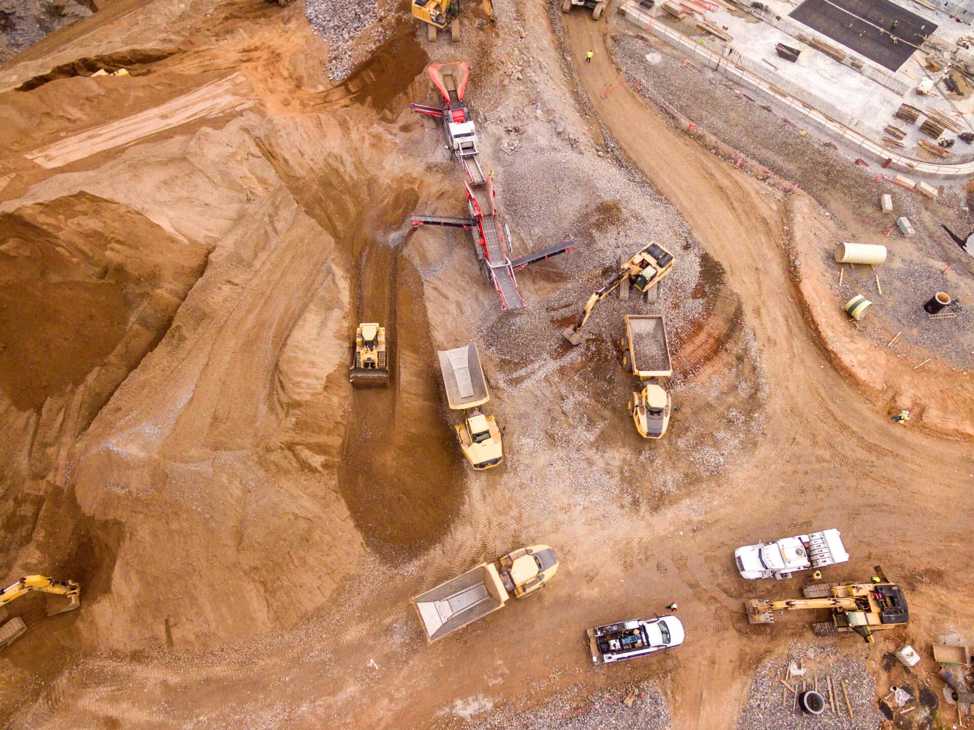
We use drones to manage stockpile volumes and accurately measure quarries and landfills. This data can then be used to create 2D maps and 3D models which can be analysed by relevant parties.
Thermal Imaging
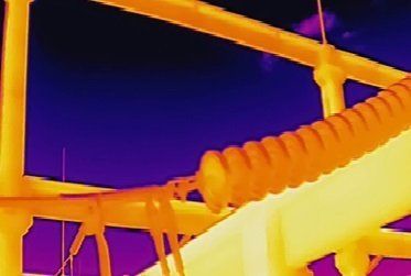
Some of our drones have thermal imaging capabilities to measure surface temperatures. These can identify electrical issues or detect leaks without putting personnel at risk.
We conduct utility and building inspections using drones. We mostly provide thermal imaging for construction projects, heat loss and roof inspections including assessing building leakage.
Our network includes CAT1 certified pilots.
Building Surveys
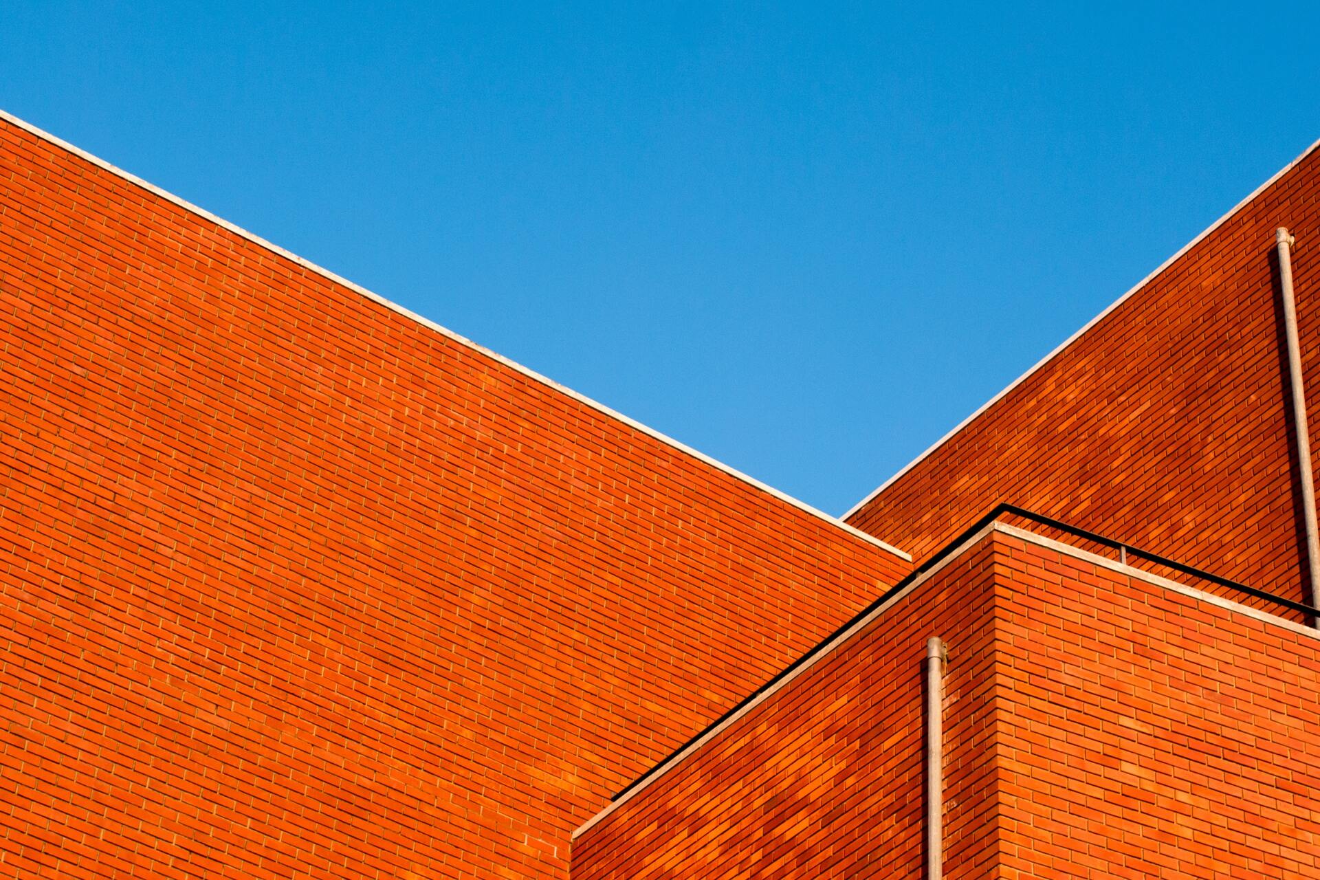
Drone surveying can assess the condition of towers, chimneys, bridges, roofs and other infrastructures and utilities. We use specialist equipment to zoom into specific features, allowing for highly detailed findings and reports. Any issues can easily be detected.
Construction Site Photography
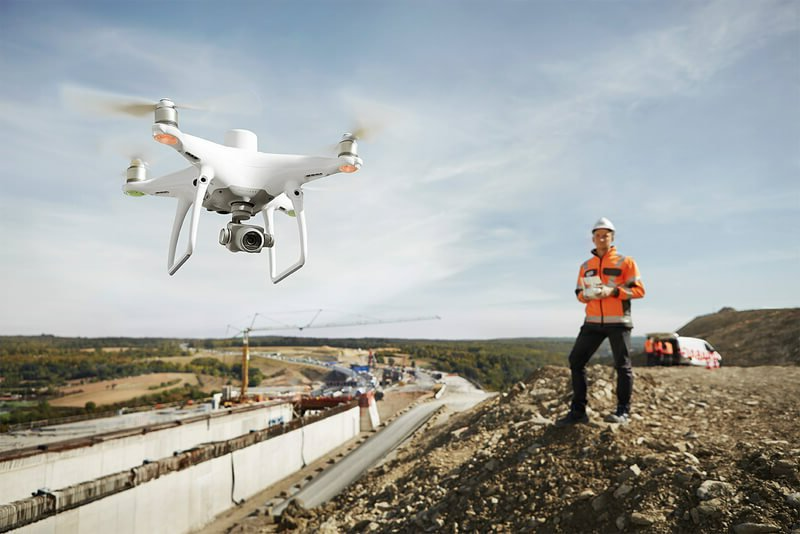
We offer aerial overviews of construction sites. These can show every stage of a development from planning and foundations through to building topping and completion. There is no better way to monitor a project’s progress than by using aerial photography.
Mapping (Land, 2D & 3D)
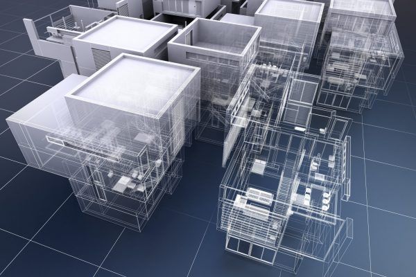
Our team of drone pilots capture aerial images for a range of commercial mapping uses. Drones can be used to measure and map difficult to access areas such as landfill sites, quarries and open cast mines.
Specialising in 2D mapping, our team are industry experienced in land surveying and construction. We also take aerial images from a variety of unique perspectives to add depth and detail to the final 3D rendered model.
Drones gather highly accurate data quickly. Drone mapping can be up to 90% quicker than traditional manual methods.
Property Promotion
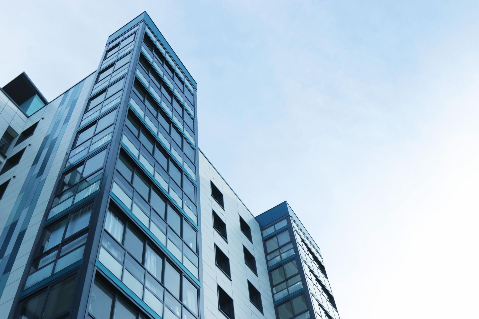
Once a project has been completed, capture impressive shots from unique perspectives to use for promotional purposes.
Aerial photography and videography exhibit the scale of a property and surrounding land in a way not possible with ground-level photography.
Photogrammetry
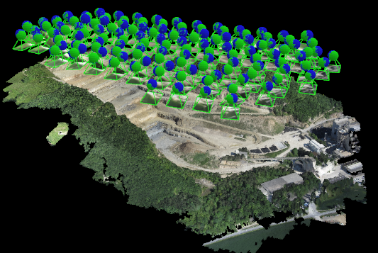
We produce highly accurate photogrammetry for engineers and architects.
Photogrammetry involves collecting high-resolution 2D aerial images. By overlapping enough images of the same aspect, photorealistic 3D models of topographic surfaces are generated.
Drone photogrammetry allows for data to be acquired quickly to help aid decision making.
360° Surveys
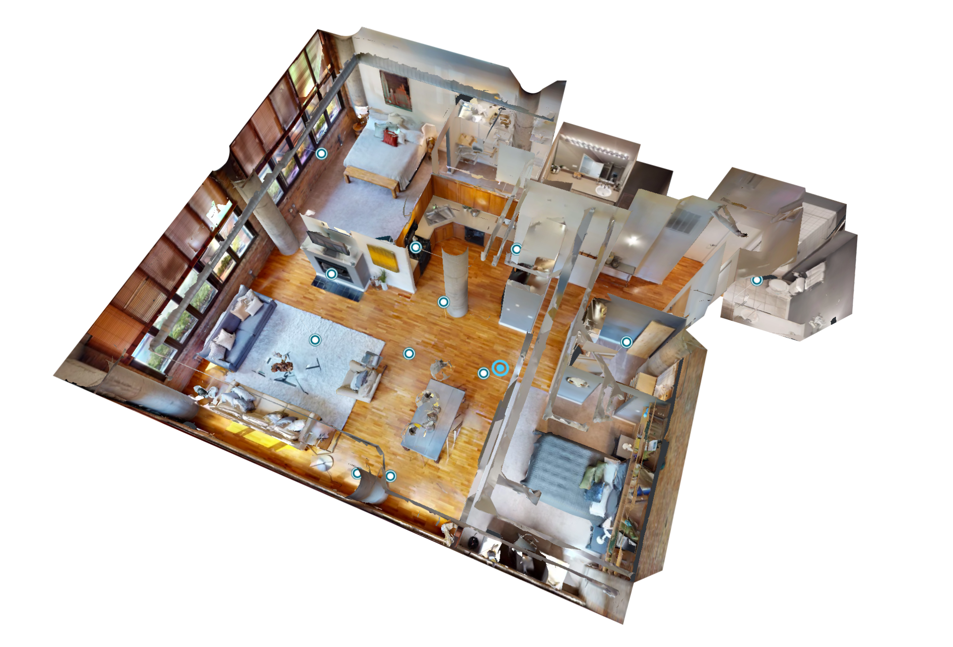
We offer smooth, high-resolution 360° immersive aerial panoramic photography to showcase a building externally.
Additionally, we provide 360° internal tours and interactive building surveys. These bring a building to life and let viewers virtually explore a building in-depth, closely inspecting every detail.
Why Use Drones to Conduct Operations?
There are many advantages to using drones to conduct everyday operations. These include:
1. Reduce Costs
Drones can greatly reduce costs. A UK Drone Safe Register case study found using a drone to be 85.71% cheaper than building scaffolding to conduct a roof inspection.
Since approximately 80-90% of industrial inspections don’t find any issues that need resolved, drones will typically be sufficient for the full maintenance process. Only erecting scaffolding when an issue is detected can produce massive savings, freeing up finances to be used for more essential purposes.
2. Improve Safety
Drones reduce the risk factor involved in construction sites. Drones reach inaccessible and potentially hazardous areas, removing the need for individuals to be placed at height. By not exposing personnel to potential danger, liability insurance costs are minimised in turn.
3. Increase Efficiency
Real-time data is gathered and can be shared with relevant individuals who are not on site, improving communication. The affordable nature of using drones facilitates repeat flights on a regular basis, ensuring data gathered is consistent. Any potential problems can be identified and remedied quickly allowing for better-informed decisions to be made.
4. Save Time
Drones are a much quicker alternative to manual methods and reduce downtime. Drones remove the need for humans to enter hazardous areas, meaning operations and assets such as nuclear power plants can often continue operating while inspections are performed. When assets are required to be switched off, drones can turn days of downtime into hours.
Drone inspections also remove the time involved in building temporary infrastructures such as scaffolding, greatly reducing costs.
Summary
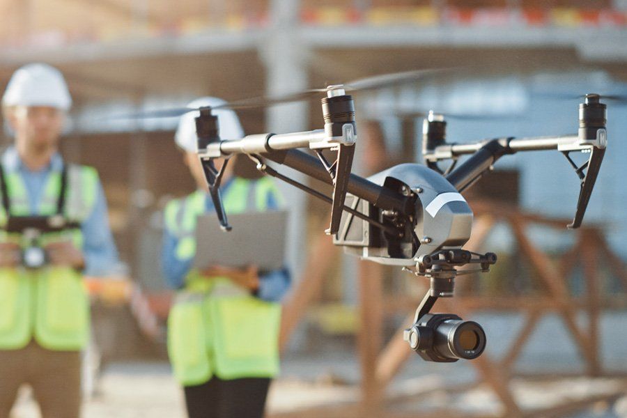
It’s obvious why drones are being widely utilised by the construction industry and beyond. The highly advanced nature of drone technology allows for drones to be used for a variety of applications while proving safer, more cost-efficient and offering greater accuracy than traditional manual methods.
DARe-me Consulting Engineers are industry experienced and provide a wide range of drone operations within the construction industry. From mapping and photogrammetry to inspections and surveys, we are highly experienced within this field.
Our team of drone pilots are CAA Registered, PfCO certified and are fully trained and insured. We also have Public Liability Insurance of £5 million but this can be increased if required.
Contact us today to find out more.
